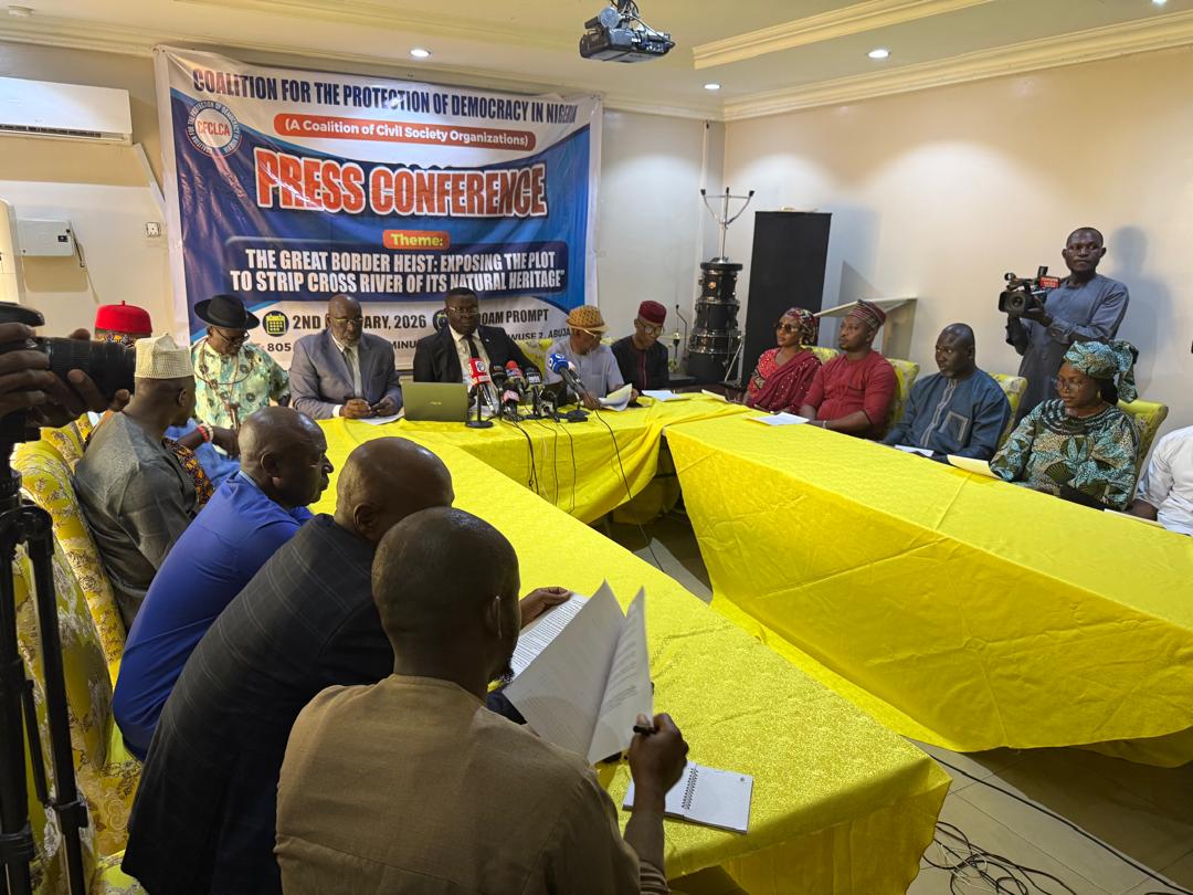
The Coalition for the Protection of Democracy in Nigeria (CPDN) has raised concerns over what it described as irregular administrative actions affecting Nigeria’s territorial boundaries and the interests of Cross River State.
Convener of the coalition, Dr Gabriel Nwambu, disclosed this during a press briefing on Monday in Abuja.
Reading from a statement entitled “Administrative Actions and the Erosion of Nigeria’s Territorial Integrity — A Call for Justice for Cross River State,” Nwambu said the group was addressing what it views as a matter of national importance involving boundary administration.
According to him, the coalition believes that Nigeria’s internal and international boundaries may have been altered in ways that disadvantage Cross River State.
“While historical state creations — such as Delta from Bendel and Bayelsa from Rivers — were marked by negotiated settlements, the current situation regarding the Akwa Ibom and Cross River boundary represents, in our view, a departure from established administrative practice,” he said.
Nwambu stated that the coalition had observed what it termed serious administrative irregularities capable of affecting Nigeria’s maritime position.
He alleged that the 10th Edition Administrative Map of Nigeria, which serves as an official reference document, may have undergone undocumented adjustments between 2004 and 2008.
“According to our findings, the document appears to have been modified several times without the knowledge or consent of Cross River State,” he said, adding that the coalition believes some of the changes favoured Akwa Ibom State.
The group further claimed that the adjustments had affected access to the Calabar Basin, which it described as a historically important navigational route.
It also alleged that what it said were more than 76 oil wells previously associated with Cross River State were later attributed to Akwa Ibom State, leaving Cross River without officially recognised offshore assets.
Nwambu warned that the situation could also have implications for Nigeria’s maritime boundary with Cameroon.
“This is not only an internal administrative issue. We are concerned that changes to boundary coordinates could affect Nigeria’s international maritime position and potentially expose some offshore areas to competing claims,” he said.
Disclaimer
Comments expressed here do not reflect the opinions of Vanguard newspapers or any employee thereof.