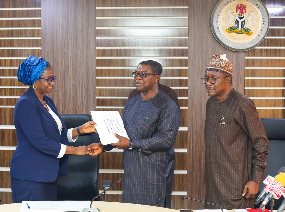
The Permanent Secretary, Ministry of Mines and Steel Development, Dr. Mary A. Ogbe, (right), the Project Coordinator MinDiver, Engr. Sallim Salaam (middle) and the Director General Nigerian Geological Survey Agency, (NGSA), Dr. Abdulrazaq A. Garba (right) during the Hand Over of High Resolution Airborne Geophysical Survey Data of Southwestern Block to Nigerian Geological Survey Agency, held at the Ministry’s Headquarters on the 12th of July 2023 in Abuja.
….as World Bank’s MinDiver hands over images of the airborne survey
By Gabriel Ewepu, ABUJA
The Federal Government, Wednesday, wooed investors with ‘Acquired Data and Images of airborne High-Resolution MagRad Survey’ of selected proof of concept sites in Nigeria Southwestern Block to the Nigerian Geological Survey Agency, NGSA.
The Permanent Secretary, Ministry of Mines and Steel Development, Dr Mary Ogbe, speaking during the handing over of the airborne high-resolution survey by the Project Coordinator, MinDiver, a World Bank funded Project, Engr Salim Salaam, said the survey is going to galvanize the sector and position it for greater investment drive.
According to Ogbe, airborne survey utilizes modern technology onboard specialized aircraft to survey cast areas within a relatively shorter time and at a lower cost than would have taken vans spent when using a ground survey.
It will be recalled that a regional airborne survey was conducted between 2006 and 2011 from whose outcome this present survey found its cause.
She said: “The present survey serves as a follow-up on the result of the former survey and has better resolution, more result oriented, richer in information and therefore, a very valuable incentive to the investor.
“The Airborne MagRad Survey involves the acquisition of 1,580,727-line kilometres of magnetic and radiometric data equivalent to 300,000 square kilometres of highly prospective areas of mineralization within 19 States of the Federation.
“The Survey us one of many activities planned and executed by the Ministry of Mines and Steel Development as a government incentive to reduce the risk of investment in the mining sector.
“I wish to call on our valuable investors both national and international to take advantage of the numerous efforts of the Ministry, such as the new high-resolution airborne data to carry out further exploration of your mineral titles and to discover more new fields.
“I also implore you to regularly visit the NGSA, NSRMEA, MCO and MMSD websites for more technical information about the survey and many other activities aimed at derisking investment in the mining sector.”
She further stated that, “For operational reasons and other technical considerations, the survey progresses in logical blocks, beginning with the southwestern block. With the completion of data acquisition, processing and interpretation of the SW block.
“The Ministry has in addition to the creation of the Geodata centre, approved a data dissemination policy in June 2023 where credible geoscience data are made freely available to investors and researchers after a simple online documentation.”
Meanwhile, earlier, the Project Coordinator, Mineral Sector Support for Economic Diversification Project, MinDiver, Engr Salim Salaam, a World Bank Assisted project under the Ministry of Mines and Steel Development, MinDiver, while handing over the Acquired Data and Images of Airborne High-Resolution MagRad Survey to the Permanent Secretary of the Ministry of Mines and Steel Development, described the survey as a landmark achievement.
Salaam said: “Today’s event marks another landmark achievement in the area of geodata acquisition for attracting meaningful investment into the Nigerian mining sector.
“A high-resolution airborne survey conducted over the proof of concept areas in the Southwestern Block of Nigeria has been completed, processed and interpreted, while the same is being carried out in the remaining part of the country.
“Therefore, what we are doing today is to release the first batch of the processed and interpreted data of the Ministry for onward release to the public to assist in derisking the sector.
“The Southwestern Block data is a 39.2 GB data contained in a SSD HD and arranged in different folders/sub folders described as follows; Grids (comprising magnetics and radiometric data) 3.47GB; Basic Grids and Images (Digital Elevation Model (DEM), Magnetic Grids, Radiometric grids) 447 MB; Interpretation: 18.0GB-GIS files (Map Sheet 1:50,000, 1:100,000, 1:500,000) 8:56GB; Advanced Processing of Grids/Images 9.35GB; and Reports and Deliverables, Map products, interpretations 94.2MB; Revisions -Literature review, past reports, data, maps, and 17.5GB.”
Disclaimer
Comments expressed here do not reflect the opinions of Vanguard newspapers or any employee thereof.