By Etop Ekanem
As global climate change crisis intensifies, concerned professionals have been using cutting-edge technology to mitigate the crisis significantly, says Egwuogu Chibuzor.
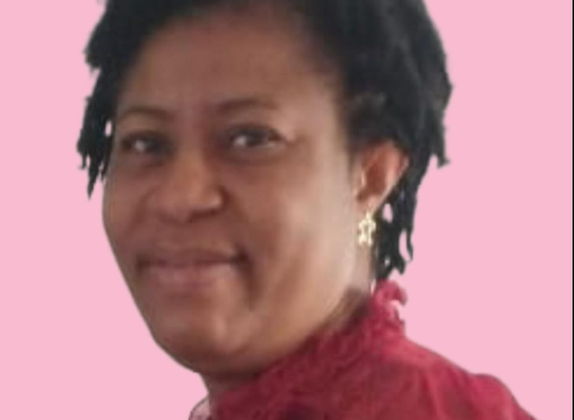
According to a recent statement, Chibuzor, a researcher with years of experience in Chemical Engineering and Petroleum and Gas Engineering, emphasized that she is proud to be at the fore of those driving change using technology.
According to the expert, environmental scientists now rely heavily on remote sensing and GIS to collect vast amounts of data on ecological and atmospheric changes across many regions.
Equipped with remote sensing and Geographic Information Systems (GIS) expertise, Chibuzor discloses that she leads creative projects that monitor, assess, map, and predict climate effects with previously unheard-of accuracy.
“We use these technologies to develop advanced models that predict the effects of future climatic scenarios in addition to illustrating the state of the ecosystem now.
According to her, she evaluates land-use changes, vegetation health, soil moisture levels, and more by analyzing satellite imagery and spatial data—information that is essential for creating plans to slow down climate change.
The expert further disclosed that one of her major projects involves mapping deforestation trends, noting: “Although forests are important carbon sinks, their ability to absorb carbon dioxide, a major greenhouse gas, has been severely diminished due to deforestation.
“Applying satellite data to track changes in forest cover over time, as experts, we offers useful information that can direct reforestation initiatives and alert decision-makers to the areas that urgently need intervention.”
Aside from monitoring forests, the expert stated that she works in coastal regions where ecosystems and human settlements are at risk due to erosion and rising sea levels.
She also revealed that experts in this field use GIS to develop models that map coastal areas that are at risk, flaring sites, and oil spill areas in Niger Delta, assisting organizations and local governments in planning climate-resilient infrastructure and preparing for extreme weather events.
“In addition to protecting populations, our initiative preserves vulnerable coastal ecosystems vital for carbon storage and biodiversity,” she explained.
Participating in climate projects with local communities is another area of enthusiasm for the engineer, noting that she makes it possible for citizens, legislators, and community leaders to comprehend environmental trends and take action by presenting complicated data in easily understandable formats.
She notes: “Although climate change is a global issue, its effects are felt locally. We give communities the information they need to fight for their environment.”
She asserts that she is leading the way in a data-driven approach to climate change by utilizing remote sensing and GIS, making significant progress toward a sustainable future for everybody and also analyzes climate data and correlates it with environmental and ecological changes.
With ongoing initiatives and aspirations for the future, this serves as a reminder that innovation may bring about substantial change when supported by technology and passion.
Disclaimer
Comments expressed here do not reflect the opinions of Vanguard newspapers or any employee thereof.